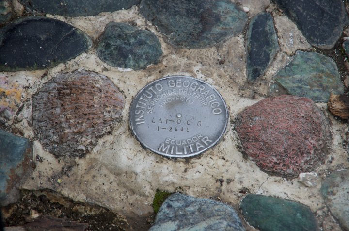
Day Four: Equator - Otavalo - Peguche Waterfall » IMGP7474.jpg
Josue is explaining what the different lines along the eight-point star indicate, and how the indigenous people (pre-Incan!) used the mountains and the sun to mark time and seasons, and were able to identify the equator line. This is the only place in the world along the equator that has mountains to define a constant horizon.
IMGP7474.jpg
